
13. May 2015
Google Maps tour of the narrow-gauge railway line online
The 18-kilometer route can now be viewed virtually at 41 locations.
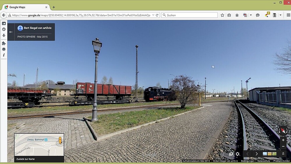
The panoramic photos taken on April 22 along the Zittau–Oybin/Jonsdorf narrow-gauge railway line have now been released by Google. Students from the Faculty of Electrical Engineering and Computer Science played a key role in creating the tour. This means the approximately 18-kilometer-long route can now be virtually explored at 41 locations.
To start the tour:
Open Google Maps, zoom in on the Zittau and Gebirge region, and then drag the yellow man icon (bottom right) across the map. Blue circles will then appear at the panoramic locations along the route, and the tour can be started from any of these points.
The viewing points were selected so that they can be usefully incorporated into classes / courses on Control and safety technology and as a supplement to field trips.
For the railroad operator SOEG mbH, the photo tour serves as a promotional tool for tourists and railroad enthusiasts.
The logo of the project participants was superimposed on the ground in each panorama.
We are pleased with the successful tour and would like to thank art2viz for their good collaboration in creating and uploading the panoramas.

Faculty of Electrical Engineering and Computer Science'
Electrical engineering department
02763 Zittau
Theodor-Körner-Allee 16
Building Z I,
Room 1.49
+49 3583 612-4571